Dick den Hertog
See profileDaniel Soares
See profileLeveraging Geospatial Data and Big-Data Platforms for Impactful Decision-Making in R&D Strategies
Analytics for a Better World 2024 Conference Stories
Analytics for a Better World 2024 Conference Stories – Dick den Hertog | Daniel Soares | Geospatial Data and Analytics: Transforming Humanitarian Aid At the Analytics for a Better World (ABW) conference, leading experts in data science and geospatial analytics came together to discuss the transformative power of location-based insights in humanitarian efforts. Speakers included […]
Geospatial Data and Analytics: Transforming Humanitarian Aid
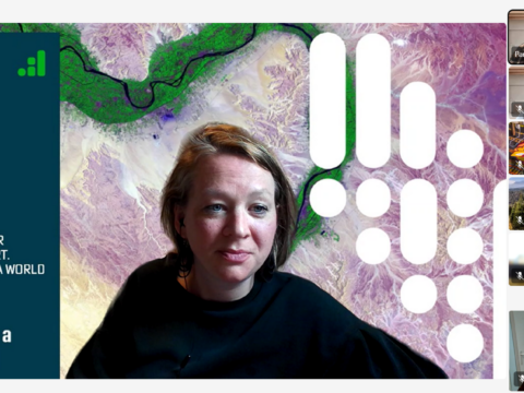
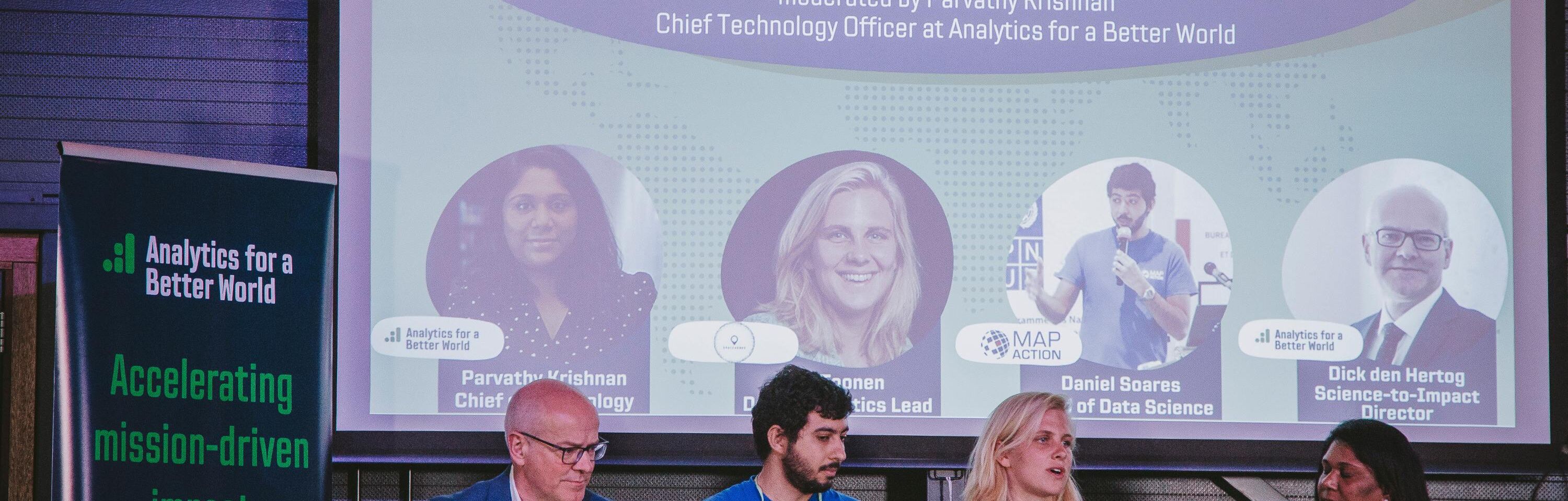
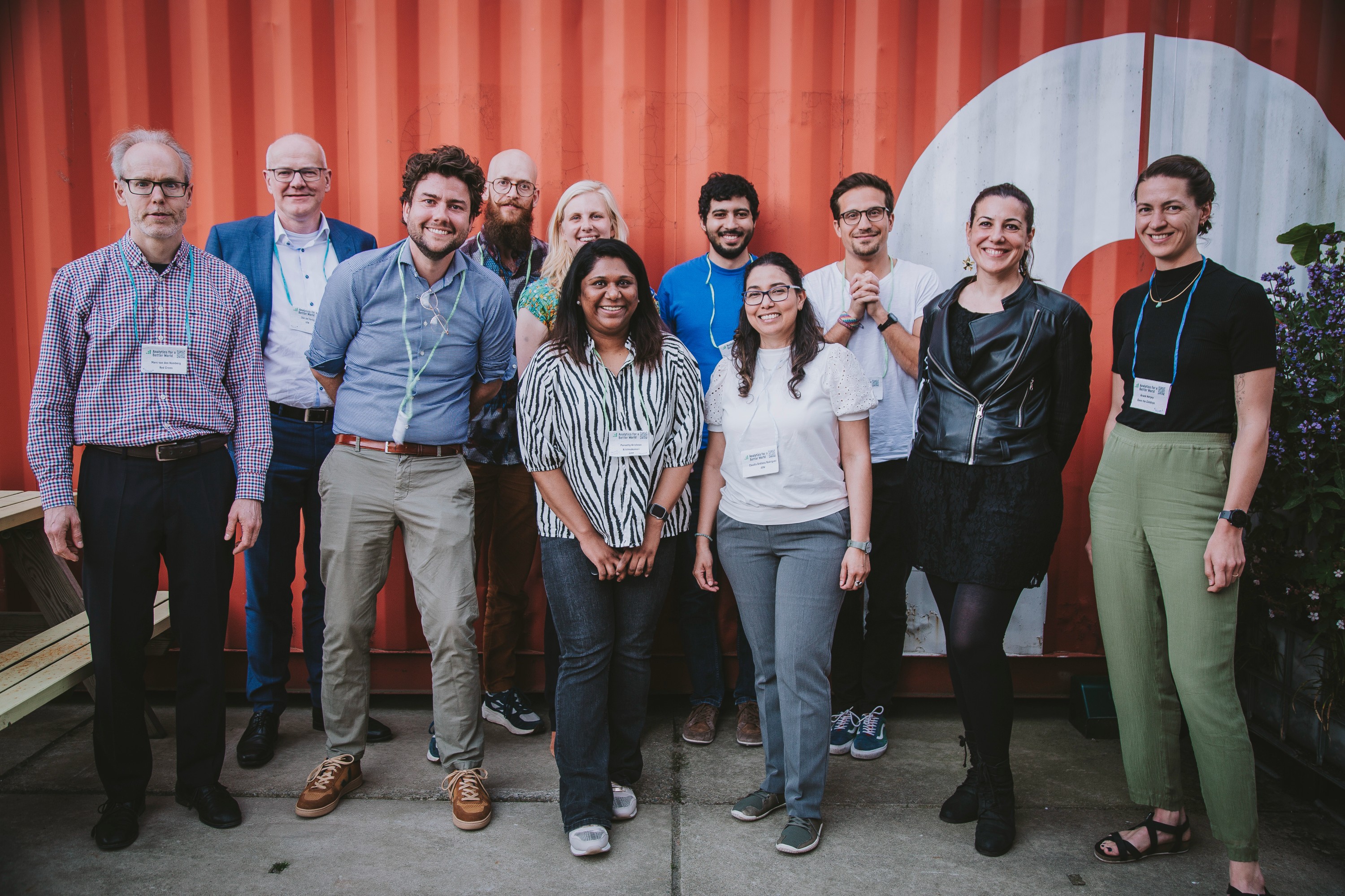
At the Analytics for a Better World (ABW) conference, leading experts in data science and geospatial analytics came together to discuss the transformative power of location-based insights in humanitarian efforts. Speakers included Daniel Soares, the Head of Data Science at MapAction, Professor Dr Dick den Hertog from the University of Amsterdam and ABW’ Science to Impact Director, and industry leaders such as Liv Toonen, the Technical Project Lead at Space for Good. The panel highlighted how geospatial analytics is revolutionizing disaster response, development projects, and public health initiatives.

Geospatial Analytics in Crisis Response
Daniel Soares, Head of Data Science at MapAction, described how his organization deploys geospatial intelligence in emergencies such as earthquakes, floods, and conflicts. By leveraging mapping technology, MapAction provides real-time situational awareness to aid agencies, helping them optimize search-and-rescue operations and direct resources efficiently. Increasingly, predictive analytics and simulations are playing a crucial role in preemptive disaster response.
Innovative Applications of Geospatial Data
Liv Toonen from Space for Good shared how remote sensing technology is being used for environmental conservation and humanitarian aid. One impactful initiative involves detecting illegal deforestation using satellite imagery. By sending real-time alerts to local authorities, interventions can be made swiftly. Another project in collaboration with AMREF Flying Doctors focused on mapping latrine facilities in Africa using satellite imagery, eliminating the need for door-to-door verification.
Geospatial Data for Healthcare and Development
Professor Dick den Hertog highlighted the role of geospatial analytics in healthcare accessibility. A key project with the World Bank in East Timor assessed how many people had access to primary healthcare within a five-kilometer radius. Similar studies in Vietnam and Nepal have helped optimize healthcare facility locations, ensuring that services are within reach for underserved populations. The use of geospatial data in vaccination planning and pandemic response was also discussed, showcasing how data-driven decision-making can enhance public health initiatives.
Challenges in Applying Geospatial Data
While geospatial analytics holds immense potential, panelists pointed out significant challenges:
- Data Accessibility: Many datasets remain restricted or outdated, making real-time decision-making difficult.
- Data Quality: Discrepancies in data collection methods across regions hinder accurate modeling.
- Scalability: Ensuring research outcomes can be applied widely and sustainably remains an ongoing challenge.
- Integration of AI: While AI enhances analytics, it requires extensive validation and contextual understanding to be effective.
Future Trends in Geospatial Analytics
Looking ahead, experts foresee advancements in AI-driven geospatial analysis, improved data-sharing frameworks, and increased adoption of open-source satellite data. As standardization efforts grow, the ability to rapidly collect, analyze, and act on geospatial intelligence will become a cornerstone of humanitarian and development work.
A Data-Driven Future for Humanitarian Aid
The panel underscored the importance of collaboration between data scientists, field experts, and policymakers. By integrating geospatial analytics with machine learning, optimization models, and cloud-based platforms, organizations can significantly enhance their impact. The continued evolution of geospatial data will ensure more effective, efficient, and timely humanitarian responses across the globe.
Watch the Leveraging Geospatial Data and Big-Data Platforms for Impactful Decision-Making in R&D Strategies Panel here!