PISA
The Public Infrastructure Service Access Toolkit
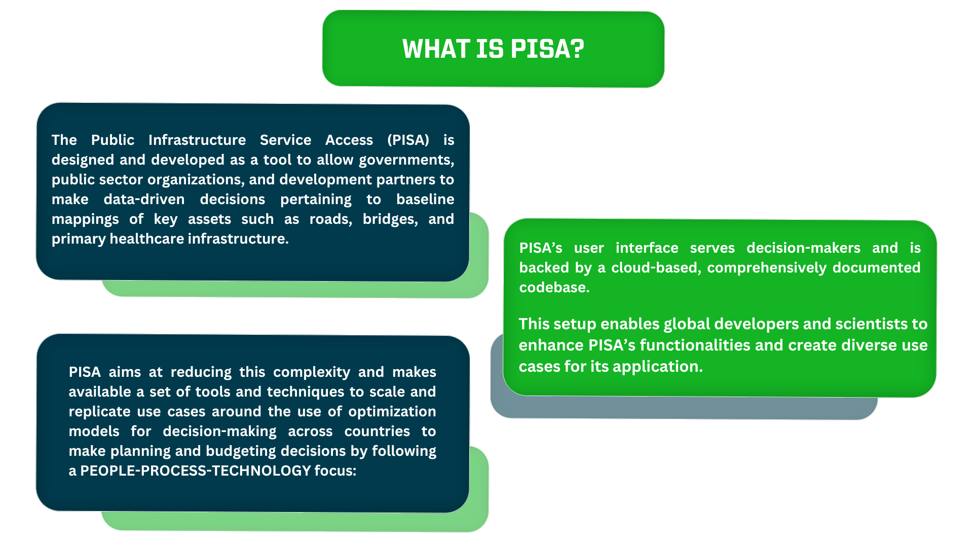
The Public Infrastructure Service Access (PISA) is designed and developed as a tool to allow governments, public sector organizations, and development partners to make data-driven decisions pertaining to baseline mappings of key assets such as roads, bridges, and primary healthcare infrastructure.
Contact us to know how we can apply PISA for your project!
PISA Demo
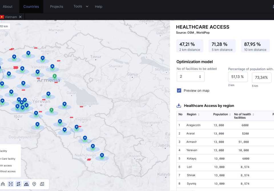
The PISA Dashboard
We created this interactive dashboard to showcase all the ongoing and finished PISA projects. By clicking on each dot, you will be able to discover the specific project we developed thanks to PISA in that part of the world!
PISA Recent Updates
ABW Café Series: What Are Optimal Locations? Showcasing the Power of Optimization with Prof. Joaquim Gromicho
Watch the PISA Hands-on Workshop
ABW 2023 Conference: Closing the Skills Gap by Educating Data Science Practitioners at Nonprofits
PISA Publications
Timor-Leste Public Expenditure Review: Changing Course Towards Better and More Sustainable Spending
Armenia Public Expenditure Review: Improving Spending Efficiency
An assessment of geographical accessibility to COVID-19 testing in Nepal (2021)
Coordination strategies to improve PCR laboratory testing scale-up in Nepal: an analysis based on COVID-19 response
A method for huge scale maximum covering facility location problems with an application to water well placement in West Darfur
Where to build those hospitals? PISA knows
Bringing together industries, research and non-profits