Research
#8 Research meet-up: Using satellite data to detect illegal logging and track NO₂
This research meet-up looked at how remote sensing, geospatial analysis and artificial intelligence can turn satellite data into information for environmental and social decision-making. The session focused on two applications: detecting and predicting illegal logging, and using nitrogen dioxide data to examine patterns in human activity and socio-economic development
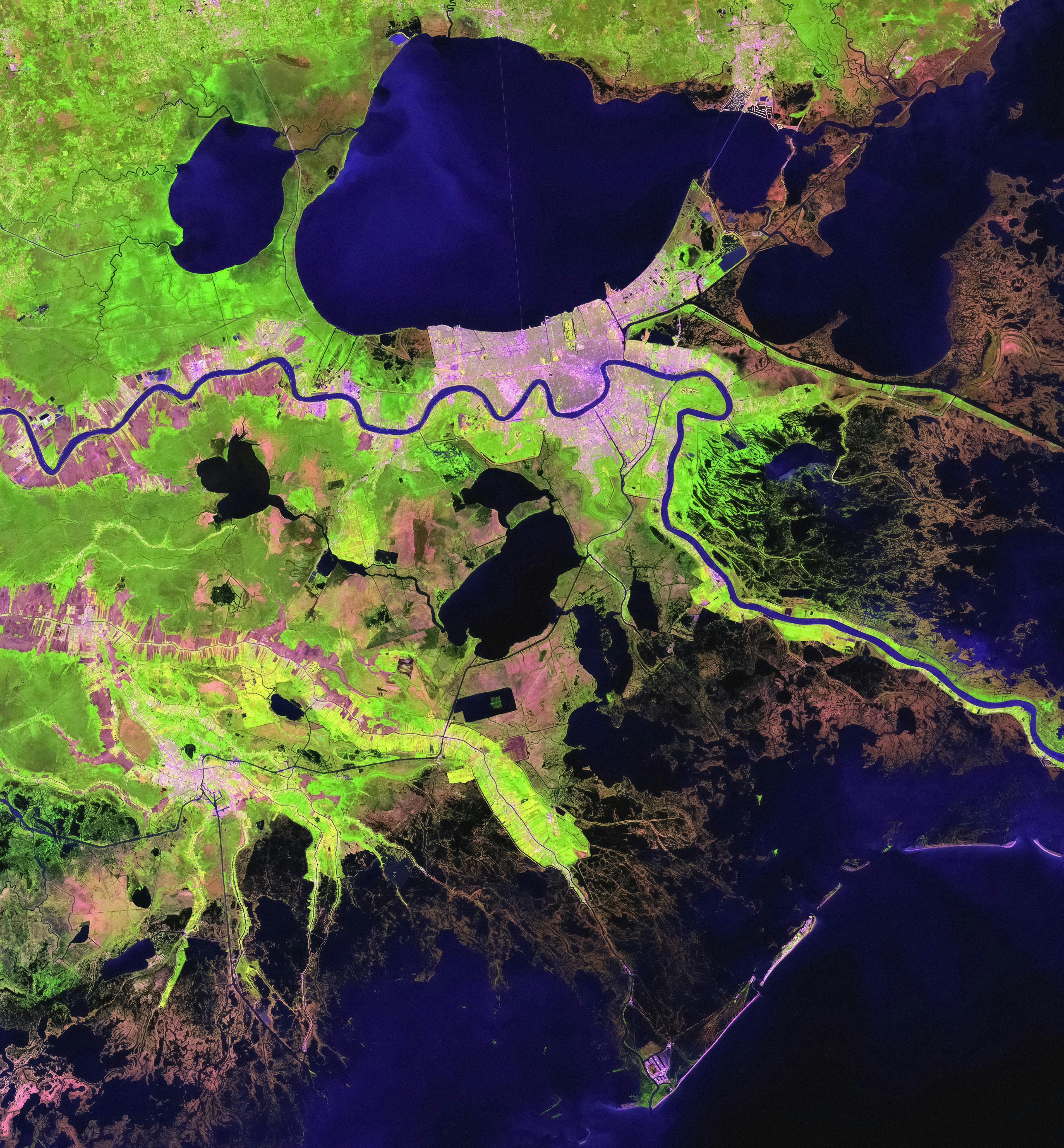
In this research meet-up, led by Lisa Broekhuizen and Elke Sauter (Space4Good, Den Haag, The Netherlands), we looked at how remote sensing, geospatial analysis and artificial intelligence can turn satellite data into information for environmental and social decision-making. The session focused on two applications: detecting and predicting illegal logging, and using nitrogen dioxide data to examine patterns in human activity and socio-economic development
How can satellite data support environmental decisions?
Remote sensing means collecting information about the Earth from satellites or other sensors, while geospatial analysis examines data in relation to location.
The first project, Illegal Logging Detection and Prediction, processes satellite data to identify unmanaged timber extraction in both protected and unprotected areas. The aim is to provide information that can support rapid responses to detected activity and identify areas where future risk may be higher.
What can air pollution data tell us about human activity?
The second project is the Big Data NO₂ Observatory.
NO₂, or nitrogen dioxide, is an air pollutant associated with activities including transport and industry. The platform visualises tropospheric NO₂ — nitrogen dioxide in the lowest part of the atmosphere — and explores whether changes in it can act as a proxy for differences in human activity and socio-economic development.
The COVID-19 pandemic provides a distinctive period for comparing these patterns because everyday activity changed substantially. The platform is used to present the resulting information for subnational governments, citizens and policymakers.
More updates

News
The Hidden Millions in Humanitarian Logistics
Humanitarian organisations face a difficult equation: growing needs, shrinking budgets and millions of people who may not receive the assistance they require. Yet one of the largest opportunities to close this gap may be hiding in plain sight: the way humanitarian aid is procured, stored, transported and delivered.
Read more

Research Updates
New optimisation method makes huge-scale water-well planning solvable
A research project that began through the Analytics for a Better World Fellowship, responding to a Red Cross challenge in West Darfur, has been accepted for publication in OMEGA. The study develops a scalable way to identify where water wells could be placed so that as many people as possible live within 500 metres of one.
Read more

Research Updates
Ocean-plastic optimisation research wins INFORMS sustainability award
Research by Analytics for a Better World, the University of Amsterdam, London Business School and The Ocean Cleanup has received the INFORMS ENRE Best Publication Award in Environment and Sustainability.
Read more